‘Lots of Fish’ Riverfront New Haven, Walk Quarry Then West Rock
“…a writer is always writing, seeing everything through a thin mist of words, fitting swift little descriptions to everything [s]he sees, always noticing.” Shirley Jackson
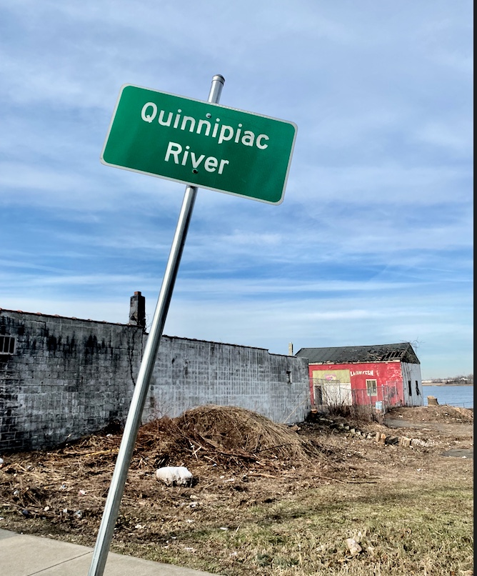
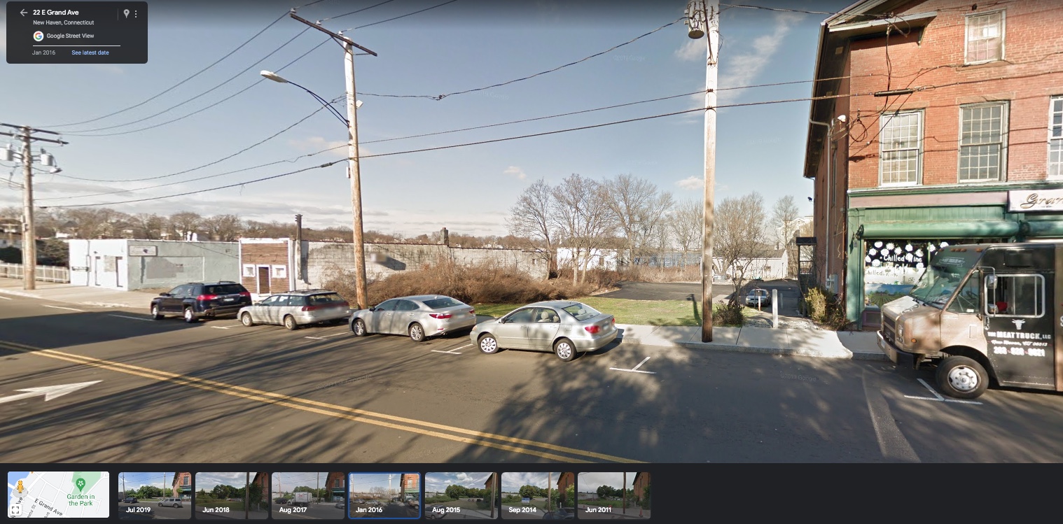
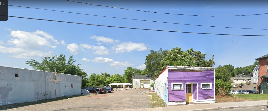
One small building red in color on the riverfront. Three words: Lots of Fish. An elongated cinderblock storefront structure in close proximity. Stories here.
A river, an estuary, once teeming with life slowly awakening again.
“The Indians who lived in the New Haven area in the 1600s were coastal Algonquians whom the English called the Quinnipiac Indians. Quinnipiac, an Algonquian word meaning Long Water Land was used also to describe the future site of New Haven and the principal river of the region. Since the Quinnipiacs no longer exist as a tribe, historians have dismissed them as insignificant. Consequently, the Quinnipiacs remain almost unknown to modern New Haveners.”
Aargh. Those last two sentences.
“Unlike the better publicized Western Plains Indians, the Quinnipiacs were not nomadic, did not live in tipis, wear flowing war bonnets or ride horses. In place of tipis, the Quinnipiacs lived in round houses called wigwams. They traveled either on foot or by dug canoe. They practiced intelligently a variety of subsistence activities such as fishing, farming, gathering and hunting.” Source: https://www.colonialwarsct.org/1638_quinnipiac_indians.htm
when you're standing on an oyster reef in the middle of the quinnipiac river pic.twitter.com/hSWHnxMvoC
— DFA New Haven (@DFANewHaven) November 6, 2022
Indigenous place name, hello. Tell me about this land, water, sky.
Want to hear about indigenous humanity from original sources. Where are you and why is this not taught in schools along with field trips to see the sites, feel the history and stories here? New Haven, Fair Haven, Connecticut.
Fair Haven: “It was founded in the 18th century as a fishing and oystering village called Dragon. Dragon was initially located at the point where the present day Ferry Street Bridge crosses the Quinnipiac River. Early Native American settlements existed in the same location. According to some,[2] the name Dragon originated with stories told by suitors of seals (sea dragons) that would sun themselves on this sandy point of land. According to others, it was called Dragon by the early white settlers because the Native American word for those harbor seals sounded like ‘dragon' to their ear.”
Quinnipiac River History. “The Quinnipiac River flows southward from Farmington, CT (Tunxis Sub-Sachemship) at Deadwood Swamp to the New Haven harbor on Long Island Sound. Its length is 38 miles (61 km) and its name means “long-water-country.” The Quinnipiac people of the Long Water Land had several sub-sachemships and villages along its banks as well as main trails that criss-crossed its length. The Quinnipiac River and Quinnipiac Hiking Trail still run directly through Sleeping Giant State Park, a sacred site revered by the Quinnipiac people as the petrified body of their culture hero, the Stone Giant, Hobbomock.” Source: https://en.wikipedia.org/wiki/Quinnipiac
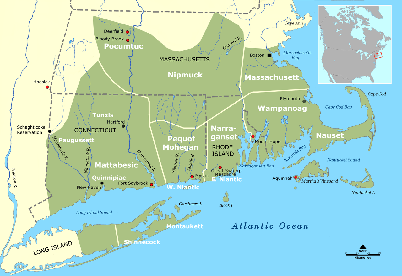
Tribal territories of Southern New England tribes about 1600
Date 25 November 2008
Source Wikimedia Commons
Let's look at history from another point of view: people already on this continent and thriving. Communities connected; knowledge and languages. Because every place called home and traveled have place names that reveal deeper history, descriptive place names, and many tribes still here. (As in Virginia, Connecticut, Massachusetts, many other states.) Rivers as transportation highways. Trade between people. Seasonal homes, life traditions. Wipe away time and blinders, see.
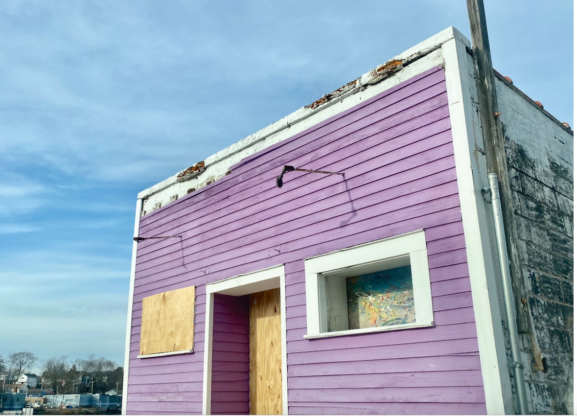
Storefront elongated cinderblock structure; was this once the retail part of a fish market? How about the original builders and usage?
East Rock, Mill River. Why is Orange Street so named?
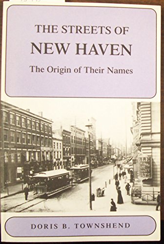
The Streets of New Haven: The Origin of Their Names by Doris B. Townshend. Linked to AbeBooks for more about it or to acquire a copy.
The afternoon began with a walk in Quarry Park. Thoughts of oxen, fossils found. Equipment and where stored. Seeing foundations but not making sense of their context here. Deep ravine with much rock removed. Time travel, geology. The outcrop rock here polished so smooth in spots it appears to be manmade pipes. But is not. Sandstone and blobs of quartz, stones. Not the gorgeous chocolate of Portland quarries. Distinctive in its own right. Speaks of ages and eons. Compression. But also of the many sturdy built-of-brick homes in the local area. Stone foundations. Are these former homes of those who walked to work here in the quarry?
New Haven, Connecticut, is a surprise of a destination with many different facets. Once crossing the Quinnipiac River, the feel of place changes. Fair Haven Heights.
Criss-crossing the city, seeing that fashionable man with hat and coat, walking with a jaunty stride, his jeans and boots accentuating his long legs. His standout style. (Why did we not lower the window and tell him??)
West Rock. Stone ruins. Water, pines. Horses. But the day is on the wane for a true exploration here and stomachs are growling. Wooster Street calls and that call is answered with a drive back to get a delectable seafood (white) pizza. Oh, the aroma.
As the RWA’s distribution network grew, we developed innovative strategies to deliver high-quality water to customers despite geographic barriers. This photo from 1931 shows the installation of our main carrying drinking water through the Quinnipiac River. #tbt #ThrowbackThursday pic.twitter.com/PU0SYRJ0e4
— Regional Water Authority (@SC_CT_RWA) November 14, 2019
A mature bald eagle flew over the Saugatuck River one bitter cold winter's day. Stories percolating. Back on the road. Tracking horses, West Rock history, the Flats, traces and lives of Native Americans. Then. Now. Farms along the way, farm stores and entrepreneurs. Pivot, adapt. Connect. Grow.
when you're standing on an oyster reef in the middle of the quinnipiac river pic.twitter.com/hSWHnxMvoC
— DFA New Haven (@DFANewHaven) November 6, 2022
Editor's note: Updated this story. En route home, the computer that is a smart phone buzzed, but when driving it must wait. Returning the call later, fortuitous. A new book about the Bethany, WOodbridge, New Haven region. Indigenous history. Must go see, listen to the journey of this story. Learn more.

