COVID-19 Era: Rivers of Time
Maybe it's time.
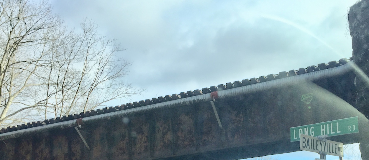
Connections, Baileyville Road, a treasure of a book found in an old shop in Meriden. Then a story and a series.
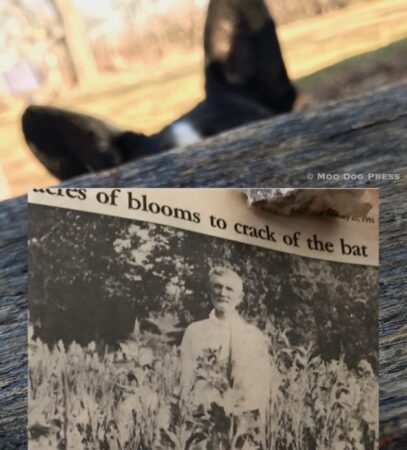
Time separates this story and interview with right now. While moving firewood, thinking of D. W. Peckham and an interview with the late Rachel Munson, his daughter, who loaned this (1926) image now in writer's archives because of time and energy getting the story.
“For 60 years Wildcat Swamp fueled industrial development in the southern section of Middlefield, but there was a problem. Its flow was seasonal and inconsistent. In 1848 Alfred Bailey changed that.”
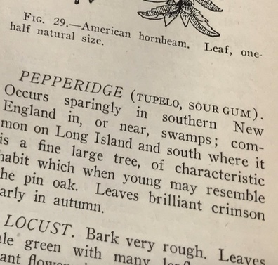
Names and places. Geology. (Marilyn Spencer, thank you.) Maps. How to get there and return. Listen to that little voice whispering. Ask, question. Make notes and capture stories that will otherwise be lost. If speech is difficult now, listening will work. Reading a slim old book found in a bookshop that includes botany, details of famed Strickland's Quarry; New Haven, Meriden to central Massachusetts and including the Connecticut River valley towns as tracked by geology and maps, illustrations that are wonders. Trees found in the region by habitat. “Peabody Museum of Natural History of Yale University” (as it was known then) with this “…visitor enters the Museum on Whitney Avenue thought the Entrance Hall, where hangs the Foucault pendulum, which demonstrates directly the rotation of the earth.” Reading more provides insight that the museum display and exhibits were originally arranged to progress from simpler life forms to humans. Learning about this beloved place often visited from childhood, indeed filled with wonders and now being renovated and expanded. (See also this story from The Columbia Spectator 1926.)

Look up. Though the Yale Peabody Museum of Natural History is closed for renovation and expansion, this image from a pre-pandemic visit still displays the center point space for a Foucault's pendulum.
Think of your childhood wanderings (for those fortunate to have grown up in an era that permitted this) and how routes were navigated. Helping with delivering newspapers, for example, taught where the farm dogs protected their perceived turf (from the back part of a banana bike, pedal faster, here comes Cuffer!) and also provided a look into heretofore hidden places. People have patterns and some subscribers were quite exact to where that paper was to be placed.
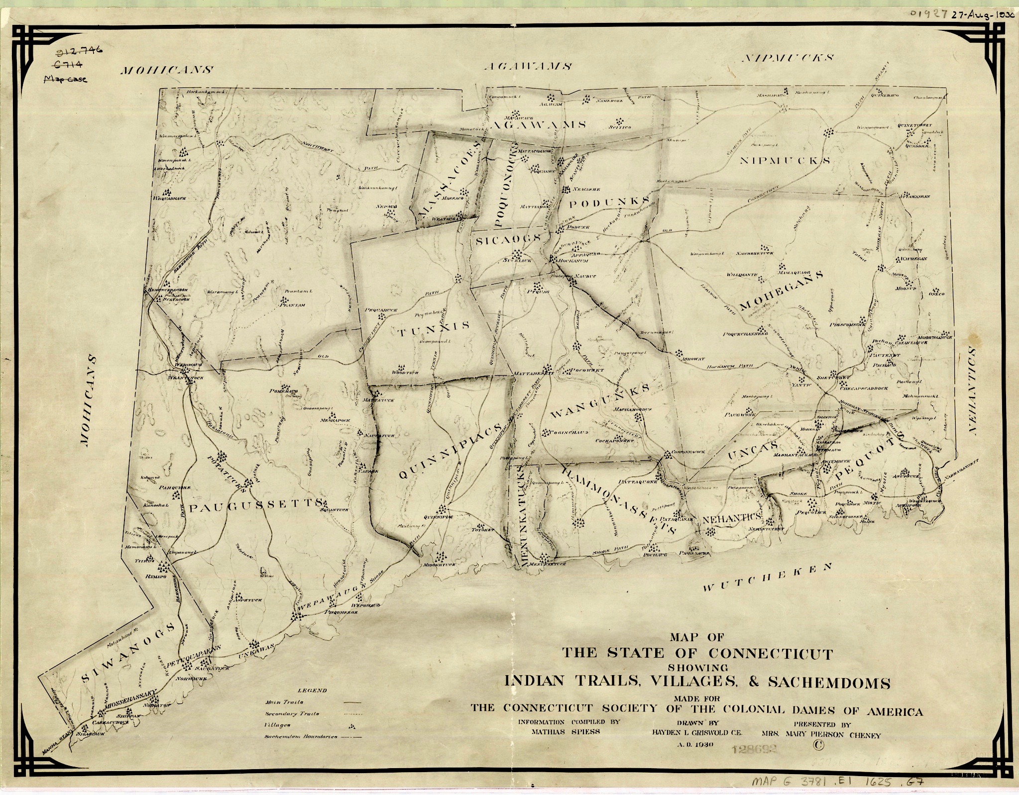
Place and people map. “Connecticut Tribes Circa 1625. Map of The State of Connecticut Showing Indian Trails, Villages & Sachemdoms Made for The Connecticut Society of The Colonial Dames of America.” Image via UConn Library, linked to this image.
Walk anywhere and place names tell stories. Some are common. Maple Street or Avenue. Main Street. Some are uncommon. Footit Road. Bee Street. Baileyville Road. After many moves and much exploration on foot, by bicycle, on horseback, have gleaned that the road names tend to be older and more interesting. Those dubbed Circle, Court, Terrace, newer and less so.
“I've seen them and I want to remember them.” —Harriet the Spy by Louise Fitzhugh
In the past an interview with Jim Gibbons at the University of Connecticut Extension office in Higganum, he told of highways and roads following footpaths and skirting hills and that geology played an important part role in transportation. Footpaths evolved into roads and then highways in some cases. Sticks in the mind these conversations. As the puzzle map does from childhood, and learning that the lines appear nowhere on the natural landscape as viewed by wildlife or in aerial views. That books hold clues hidden in plain sight.
“On this map made in 1930 we can see 19 Native American Sachemdoms of 1625 delineated in, and around the state of Connecticut. What exactly is a Sachemdom? It’s the territory of a Sachem. OK, so what exactly is a Sachem? A Sachem is the title of leadership in a Native American Tribe…so tying it all together a Sachemdom is the territory of a particular Native American Tribe under the leadership of Sachem. Got it?
“So which 19 Sachemdoms are featured on our map? Here’s a list with links to informational websites. These sites are by no means the singular authorities on each tribe but it should make it easier for you to get a head start when gathering your own information!
“Mohicans. Paugussetts. Siwanogs. Agawams. Massacoes. Tunxis. Quinnipiacs. Menunkatucks. Wangunks. Sicaogs. Poquonocks. Podunks. Hammonassets. Nehantics. Uncas. Mohegans. Nipmucks. Pequots. Wutcheken.
“Along with the tribe names listed above you will notice that there are major trails and pathways delineated on the map as well. What kind of impact do these trails and pathways have today? Examine the following map, toggle on the railroad layer located on the right. Do any of the railroad tracks line up with the trails? What other modern day features do you think would follow these trails?”
Hmm. The more research, the more comes to light. Write, note, observe, preserve, pass it on. A ship that moves from then to now on a river of time. Archive, books, local history collections, objects are touchstones. Without context, dimensions and connections are lost.
Now, take a closer look at the British Museum deerskin map that depicts rivers — link here to the British Museum site, where a zoom-in feature allows close inspection at the marks. Really quite amazing, both the age of this map and the technologies that permit remote viewing in 2021.)
Here is page 18 The Old Hempsted House “And when they searched the well to see if there was any silver at the bottom, they found arrowheads that had fallen in there in old times when Indians were about.” (Note: Even as this was written, Native Americans were still “about” — populating the region. More about this volume in another story.)
“This is a map about communities, not about geography: it's about habits of use, not patterns of ownership.” 100 Objects British Museum site. [FN: Source]
Storytelling. A word at a time, then a page and chapter. That's how it happens. Thoughts, pin them down or they run away. The technology is always changing, but the heart is this: Tell me a story.
Twitter’s @EricZuck shares this tweet in a Space on #SpacesForJournalists this evening, talking about how reporters are using the feature to gather vox pops – certainly an interesting alternative to use during the pandemic, when the high street isn’t an option! https://t.co/xeFy7CcZvB
— Liam O'Dell (@LiamODellUK) March 4, 2021
This week on “Off the Path”: stars fell on Connecticut. https://t.co/YKtFaMb1D0
— davisdunavin (@davisdunavin) March 12, 2021
FN: For deerskin map, https://sites.google.com/site/100objectsbritishmuseum/home/north-american-buckskin-map.
Note: For more events and sources, visit our Resources page linked here. And as weather switches back and forth from winter to spring to blustery then balmy, wear a mask, do two. Get your vaccination when it is your turn, help others navigate the system to get theirs. Things will get better. One day at a time, focus. In the meantime, keep your distance, wash your hands and stay aware. For information about images seen here or elsewhere on the site, contact the publisher. (No, all images seen on the Internet are not free for posting on your group's Facebook page without credit or attribution.)

